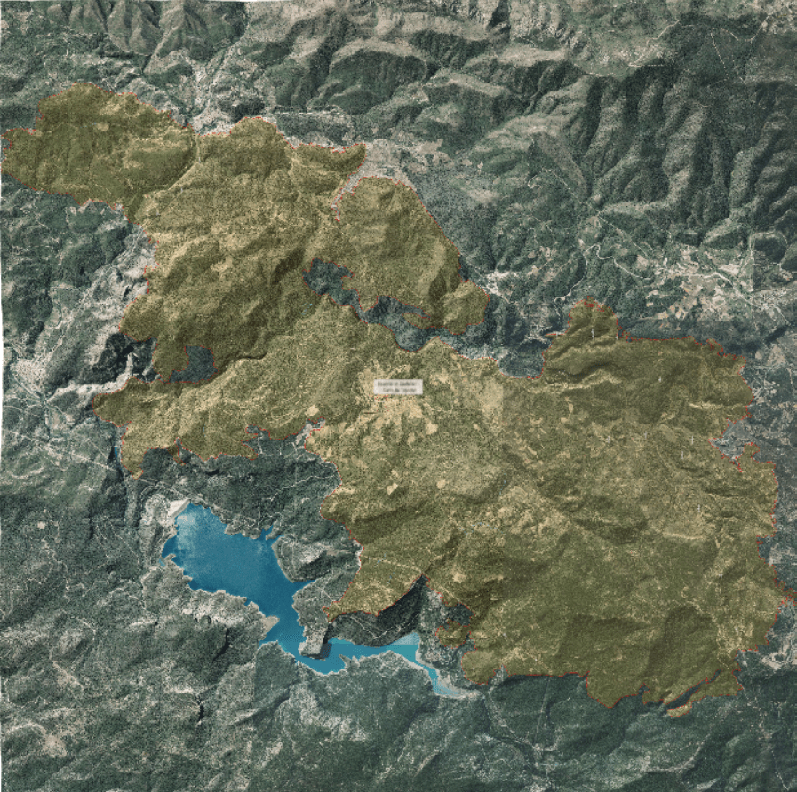
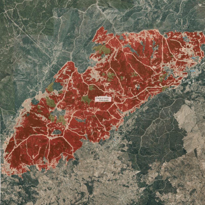
NatureTerre

NatureTerre is a service created with our 3D API which displays enviroment maps with all geoespatial data. These maps show the complete situation of the enviroment, allowing you to explore the affected area and see the extent of the study place.
We also provide a storytelling feature on our maps that includes important details such as populations, locations, and other relevant information. Our goal is to improve the information provide a more immersive, even 3D, experience using stereoscopic glasses.
Below you can find that we have currently digitized with COPERNICUS european data.